
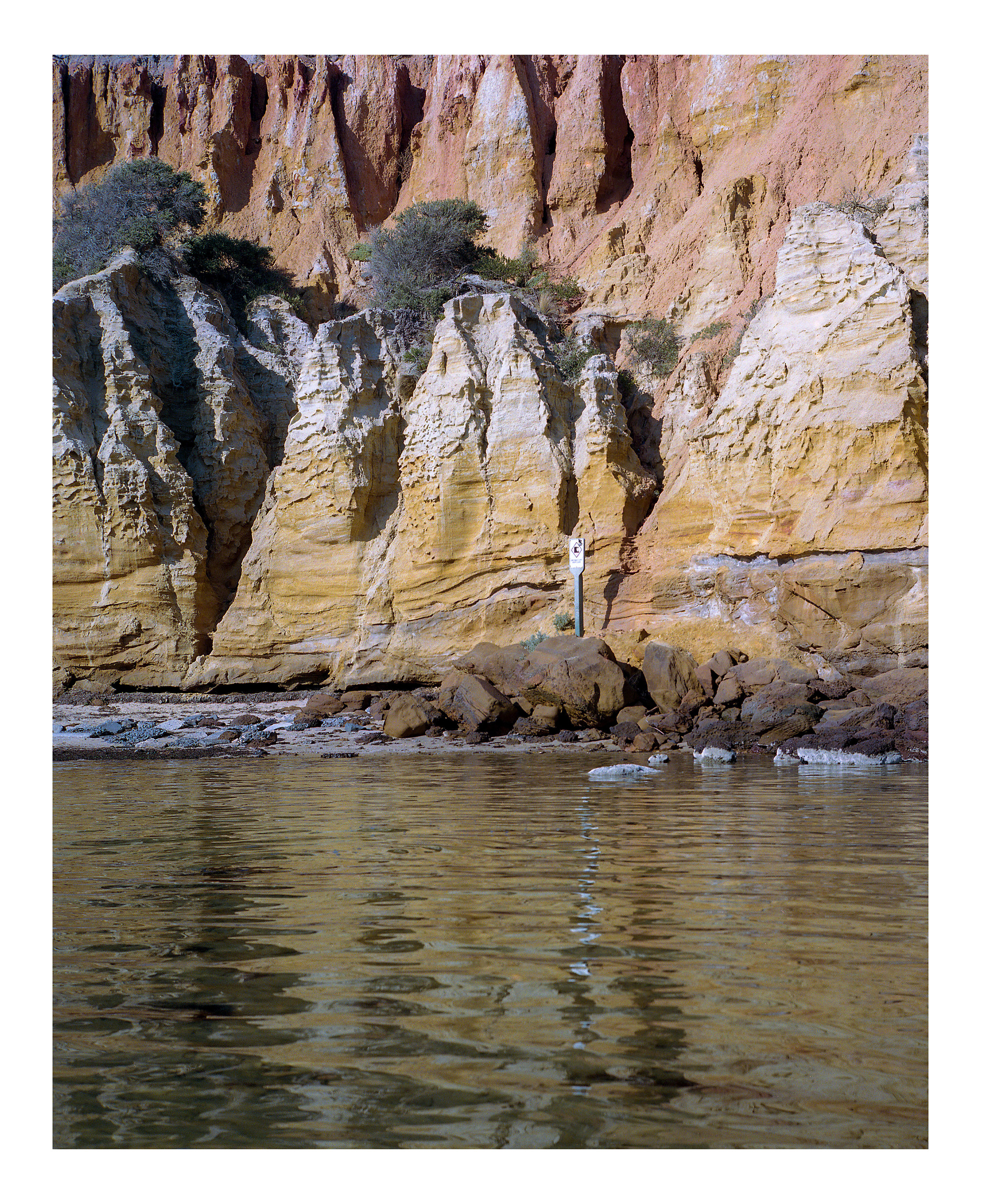
‘About 12 million years ago, late in Miocene times, there was a regression of the sea, accompanied by uplift of the hinterland. This steepened the channels of the rivers, so that they again carried coarser sediment down to the sea … sands deposited in such marine or estuarine environments often include grains of the greenish mineral glauconite. Weathering results in the oxidation of this iron-bearing mineral to iron oxides which are yellow, orange, red or brown in colour. These form a coating of the quartz sand grains which coalesces and binds them together as a firmer sandstone. In general, the darker the iron oxides, the harder the sandstone.’
- Eric Bird (1990), The Geology and Geomorphology of the Sandringham District

‘Near shore, the rocks are covered with green and red algae which shelters a range of invertebrates including brittle stars, bristle worms and crustaceans. The surrounding sandy bottoms are covered by patches of seagrass which attract a range of fish species. In deeper waters, rock bommies are carpeted in either green Caulerpa or brown Sargassum, which hides many small animals. These rocks also attract fish species including Southern Hulafish, scalyfin and morwong. If you look carefully, you may be able to uncover one of the masters of disguise, a cuttlefish.’
- Parks Victoria description of Ricketts Point Marine Sanctuary, off Beaumaris.
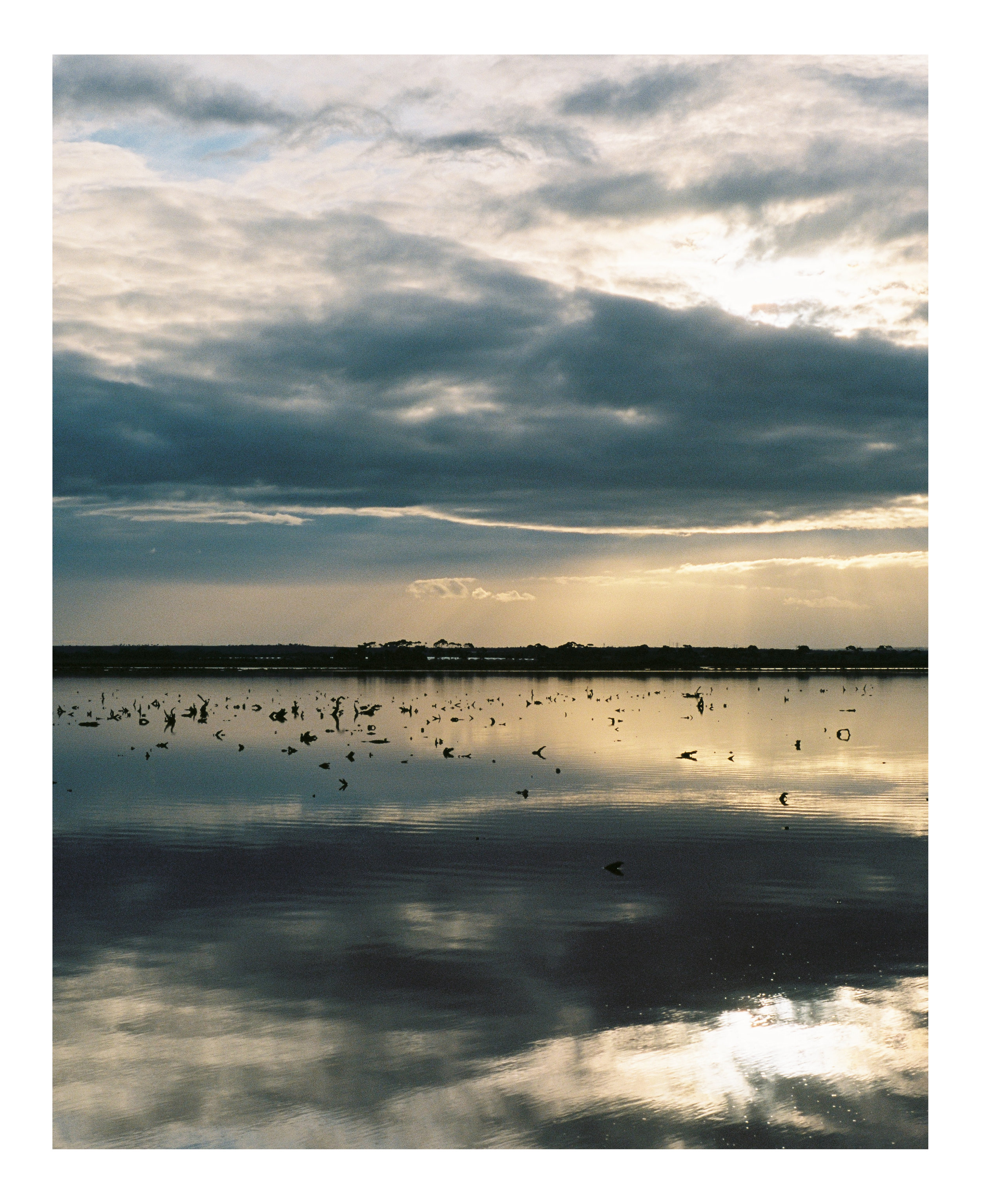
‘Harradine's uncle, Tom Clarke, was one of scores of Aboriginal men who once harvested the salt from Pink Lake using shovels and sacks. They worked side by side with the white townsfolk scraping and packing salt that was sold to butchers, bakers, farmers and tanners on and off from the 1860s to 1980. The land council made a successful land claim on Pink Lake and, 30 years later, Aboriginal workers are back on Pink Lake labouring under the late summer sun. They have a collaborative arrangement with the Seymour family from Mount Zero Olives with whom they collect salt, racing against the autumn rains that will dissolve it back to brine.’
- Richard Cornish, ‘Salts of the earth’, The Age, 25 May 2010. This is not Pink Lake, which is in Western Victoria. Salt harvesting operations near Avalon have long since ceased.
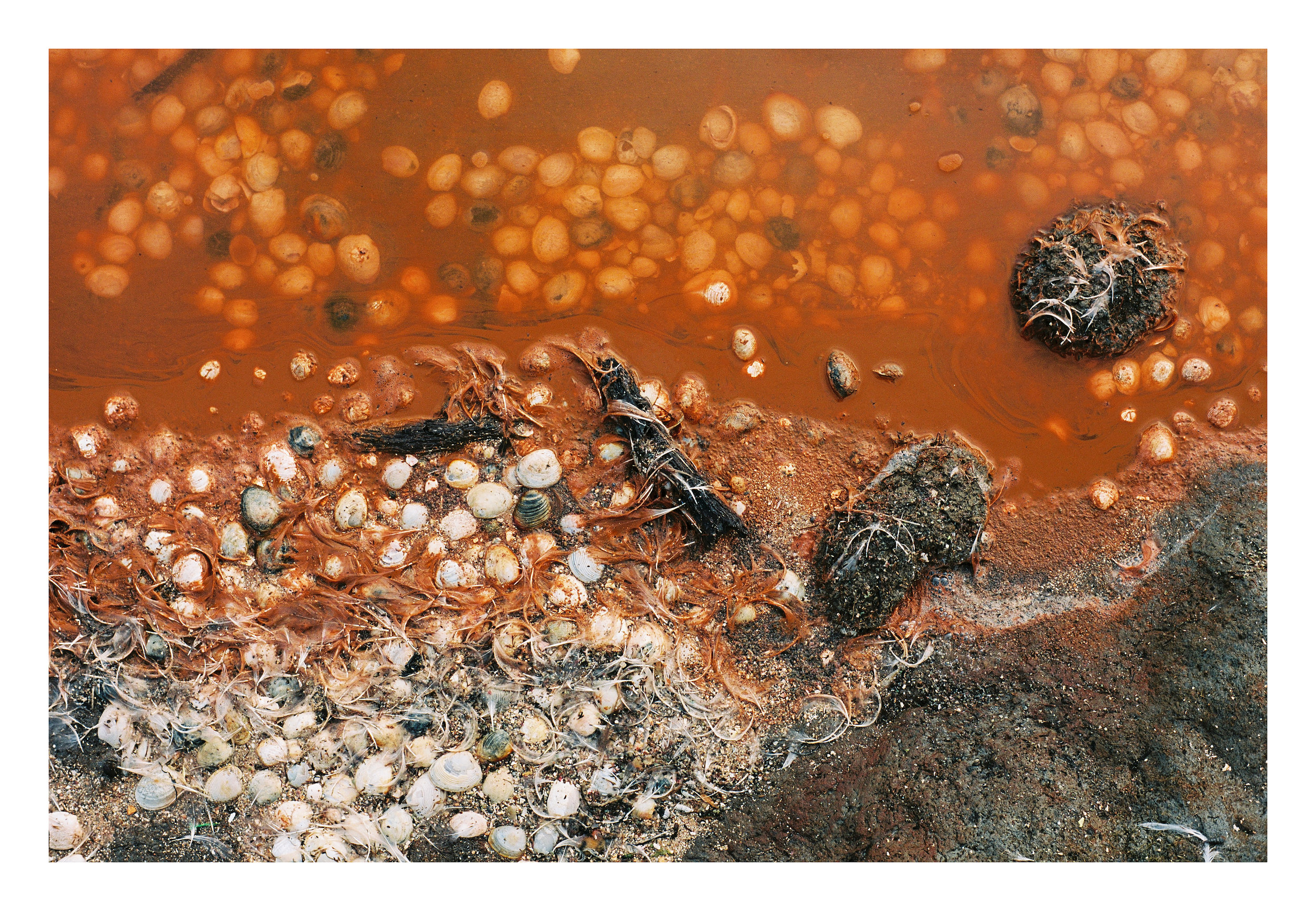
‘Richard Cheetham, a manufacturing chemist, arrived in Australia in 1862, with some knowledge of the salt gathering industry in Southern Europe, and made initial attempts at evaporative salt production on French Island in the early 1870s. He realised the potential for producing salt on large flat areas of the Victorian coastline, using solar evaporation of seawater, and in 1888 leased 650 acres (263 hectares) of land on Port Phillip, east of Geelong and constructed a saltworks which was largely modelled on examples in the south of France … In January 1951 another 800 acres were developed at Avalon.’
- Victorian Heritage Database Report on the Cheetham Saltworks, 12 December 2013
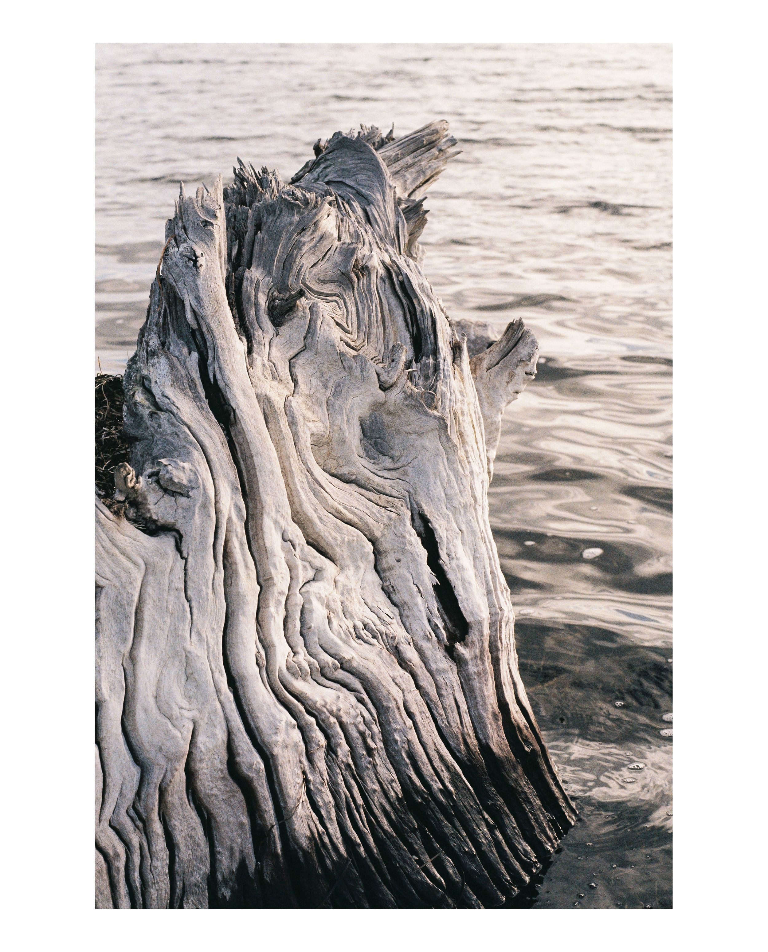
‘SCIENTISTS' belief that Port Phillip Bay has remained largely unchanged since forming 10,000 years ago has been blown out of the water, with Melbourne University researchers revealing that 1000 years ago vast areas of it were dry land.
Researcher Guy Holdgate said fresh geological data showed the bay, first formed by rising sea levels at the end of the last Ice Age, started drying out and shrinking 2800 years ago, reaching its smallest extent 1000 years ago.
Today's body of water was formed soon after by catastrophic ocean flooding, according to local Aboriginal legend.’
- Stephen Cauchi, ‘10,000-year bay theory doesn't hold water’, The Age, 8 May 2011

Someone told me that until the government dredged a channel, Corio Bay was occasionally cut off from Port Phillip Bay by a narrow sandbar, from Point Lillias to Point Henry. Farmers would run stock across the narrow strip of land to save time.

‘Kulin people lived in Euroe Yroke (the area now known as St Kilda) for an estimated 31,000 to 40,000 years ... Corroborees were held at the historic tree which still stands at St Kilda Junction, at the corner of Fitzroy Street and Queens Road. Much of the area north of present-day Fitzroy Street was swampland, part of the Yarra River Delta which comprised vast areas of wetlands and sparse vegetation.’
- Wikipedia entry on St Kilda
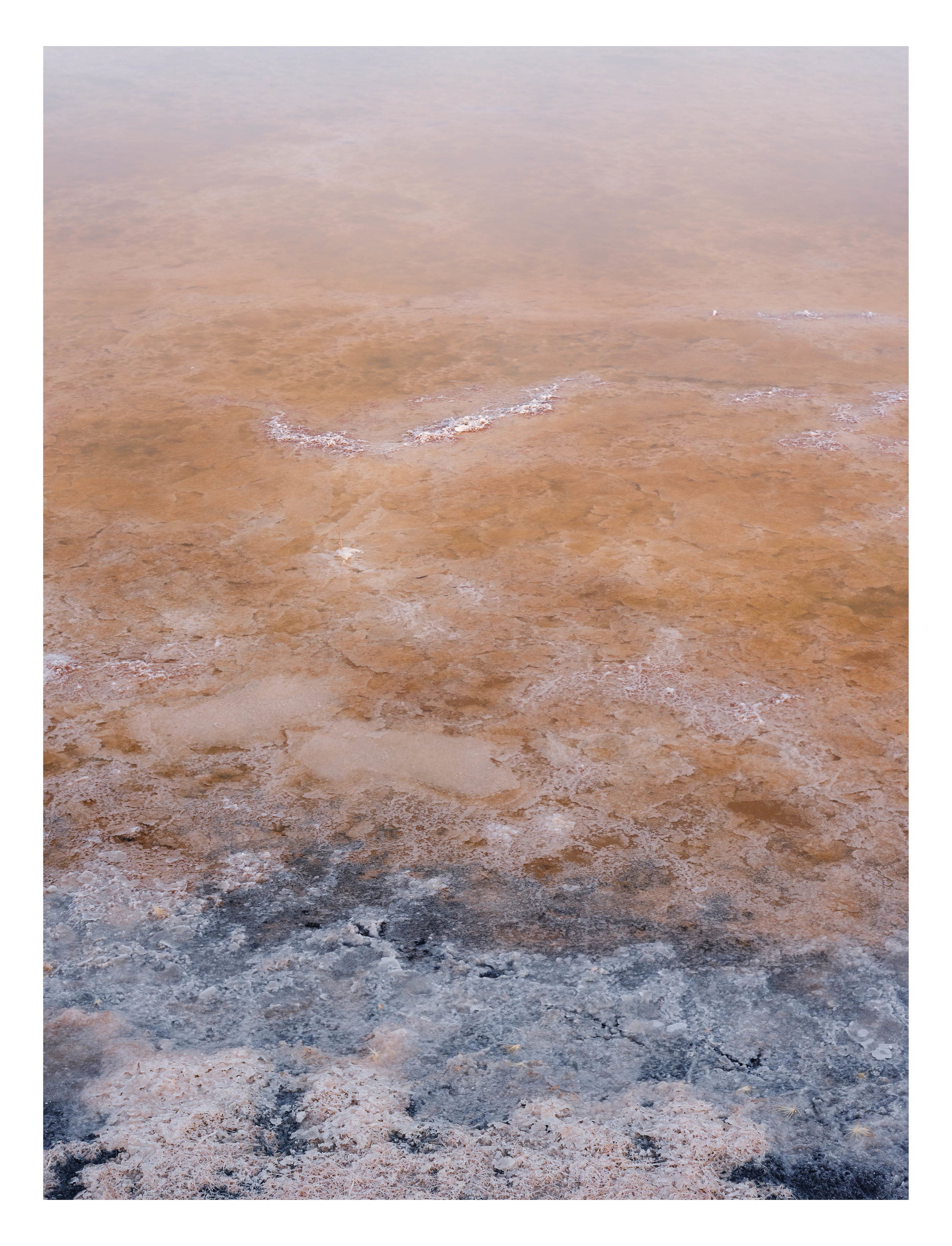
Salt-heavy lake in midsummer.
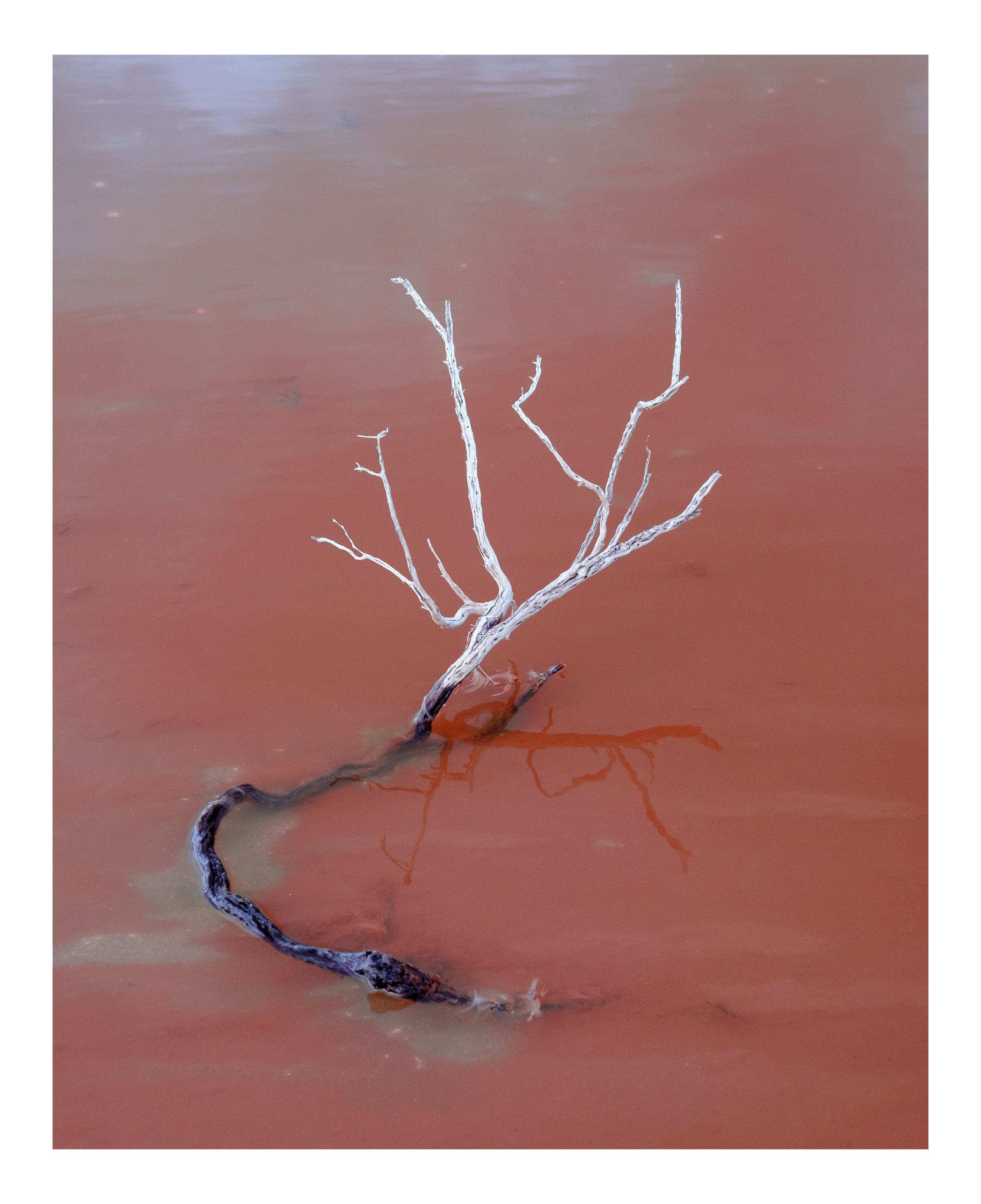
Put a wrong step in this area and see your leg sink deep into the mire.
‘A separate area of similar soft mud covers an area of 100 km sq. in the Geelong Outer Harbour that is divided into two basins by a rocky and sandy ridge between Point Wilson and Curlewis. The eastern basin is a subsurface depression filled by up to 36 ms (26 m) of soft, acoustically similar muds to the central Port Phillip.’
- Holdgate et. al., Marine geology of Port Phillip, Victoria, Australian Journal of Earth Sciences 48 (2001), 439-455
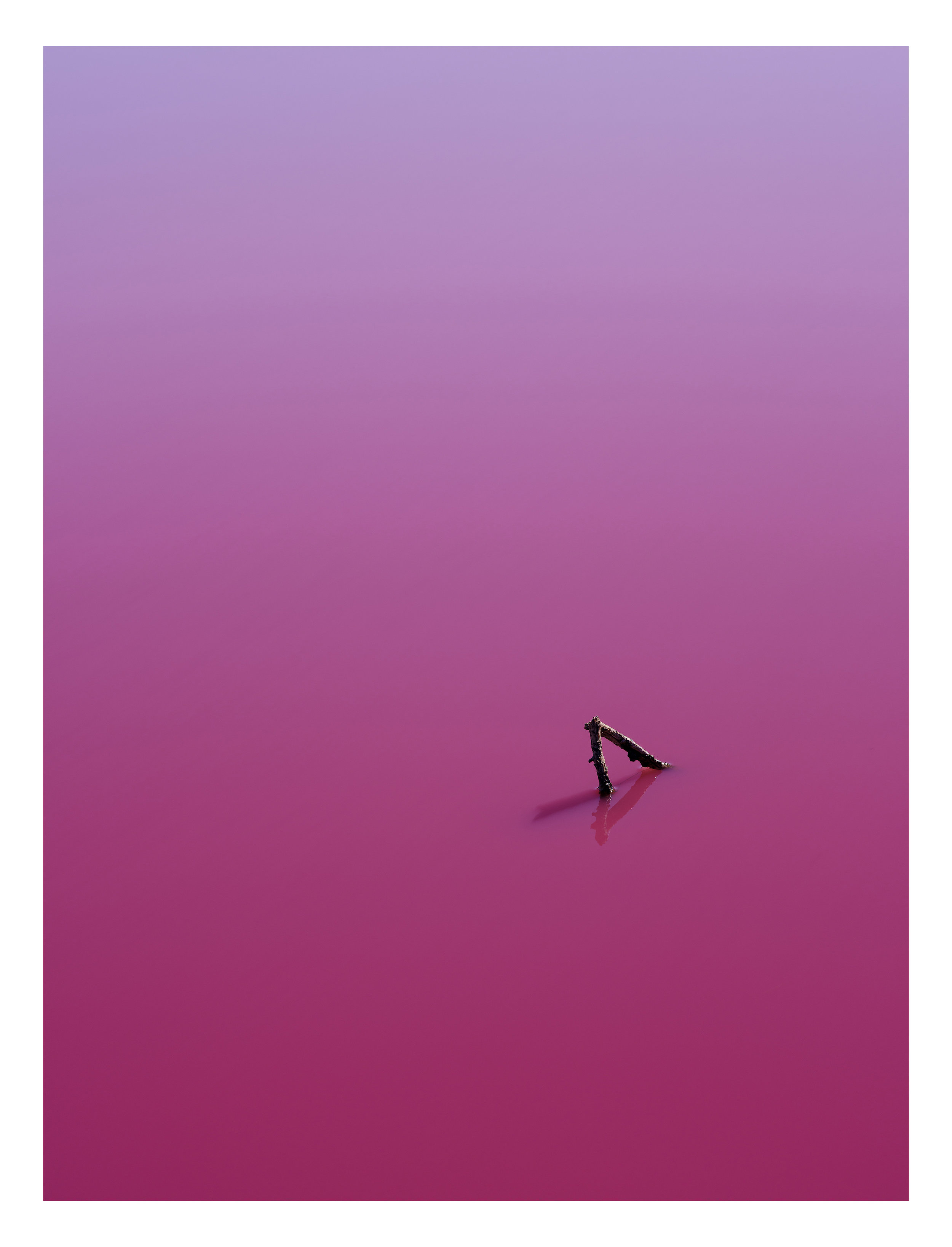
‘Why are the lakes pink? Algae growing in the salt crust at the bottom of the lake produces the red pigment (beta carotene) as part of its photosynthesis process and in response to extremely high salt levels.’
- Parks Victoria
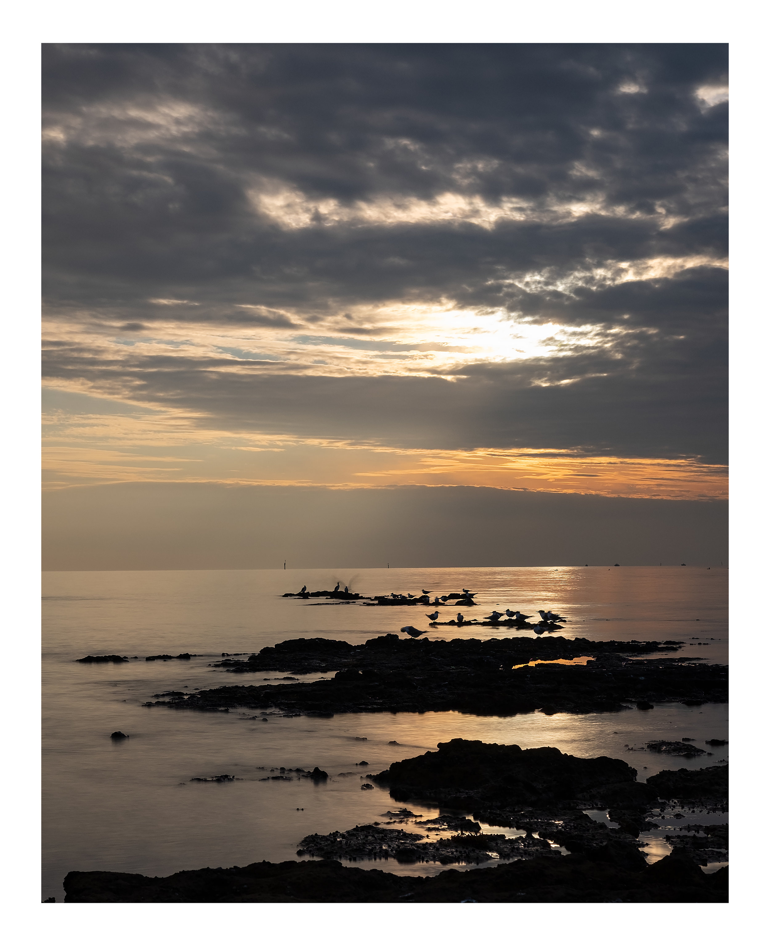
‘In Late Pleistocene times, about 75,000 years ago, the sea began to fall again … the sea drained out of Port Phillip Bay altogether, the emerged sea floor becoming a coastal plain. This was the Last Glacial phase of the Pleistocene, when the sea fell at one stage as much as 140 metres below its present level. Port Phillip Bay, together with much of Bass Strait and the Australian continental shelf had become a land area, with soils and a vegetation cover. Aborigines were able to walk out across the floor of Port Phillip Bay and over plains that are now beneath Bass Strait to reach Tasmania.’
- Eric Bird (1990), The Geology and Geomorphology of the Sandringham District
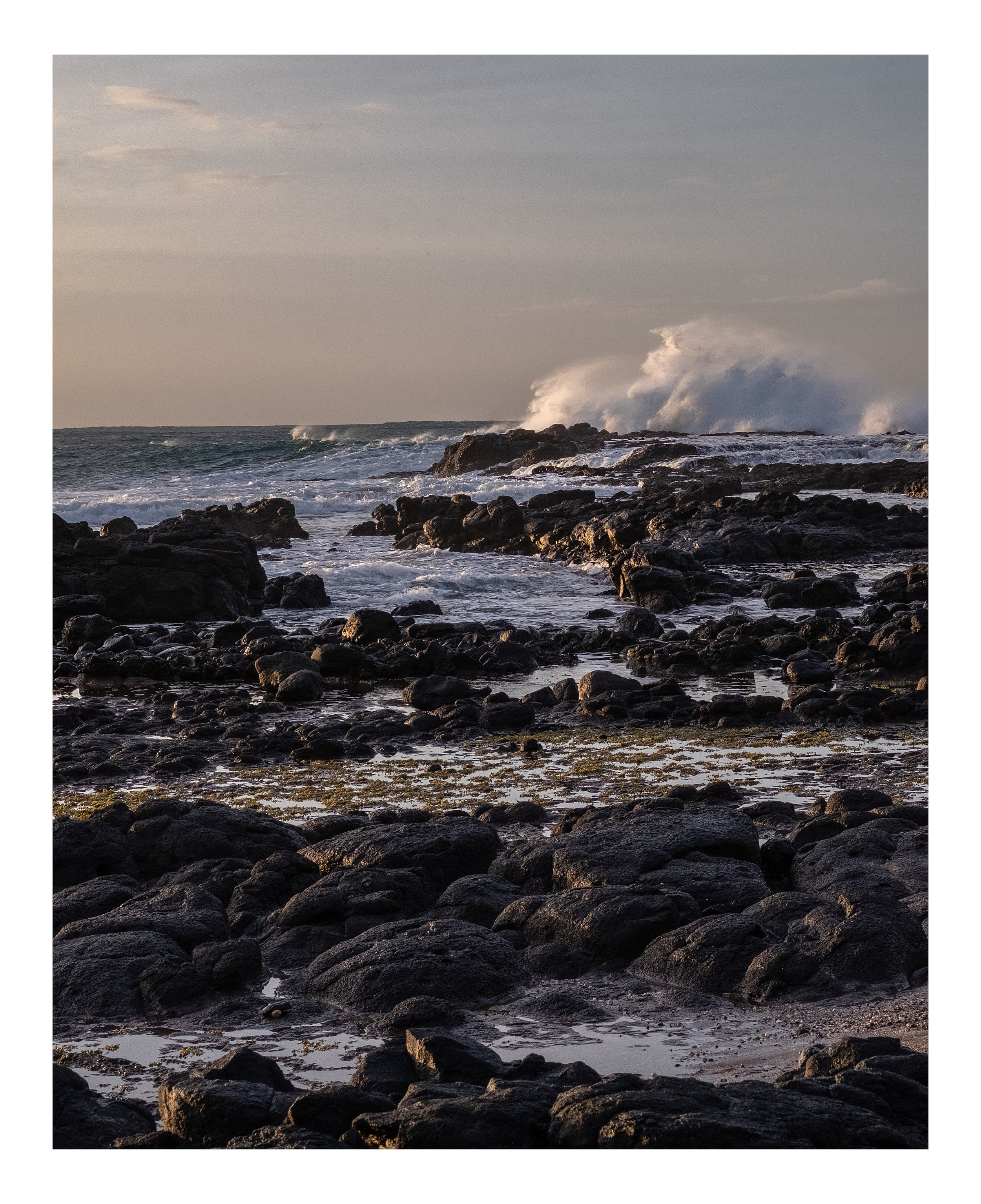
Looking south across Bass Strait, once a plain connecting the Australian mainland and Tasmania, flooded around 10 - 15,000 years ago.
‘Around 15,000 years ago, the climate warmed, the glaciers began to melt, and, in Europe, the ice retreated to expose ploughed and enriched fertile soils, which became the state for the human dramas of the agricultural and industrial revolutions. In Tasmania, the rainforest re-emerged from the gorges to invade the slopes above and people seem to have retreated to the region’s more hospitable margins. The Bassian Plain became a strait [Bass Strait] … when Tasmanian Aboriginal leader Michael Mansell visited Kutikina for the first time in 1982, he described the experience as ‘like coming home’.’
- Billy Griffiths (2018), Deep Time Dreaming: Uncovering Ancient Australia, Black Inc.


‘About 12 million years ago, late in Miocene times, there was a regression of the sea, accompanied by uplift of the hinterland. This steepened the channels of the rivers, so that they again carried coarser sediment down to the sea … sands deposited in such marine or estuarine environments often include grains of the greenish mineral glauconite. Weathering results in the oxidation of this iron-bearing mineral to iron oxides which are yellow, orange, red or brown in colour. These form a coating of the quartz sand grains which coalesces and binds them together as a firmer sandstone. In general, the darker the iron oxides, the harder the sandstone.’
- Eric Bird (1990), The Geology and Geomorphology of the Sandringham District
‘Near shore, the rocks are covered with green and red algae which shelters a range of invertebrates including brittle stars, bristle worms and crustaceans. The surrounding sandy bottoms are covered by patches of seagrass which attract a range of fish species. In deeper waters, rock bommies are carpeted in either green Caulerpa or brown Sargassum, which hides many small animals. These rocks also attract fish species including Southern Hulafish, scalyfin and morwong. If you look carefully, you may be able to uncover one of the masters of disguise, a cuttlefish.’
- Parks Victoria description of Ricketts Point Marine Sanctuary, off Beaumaris.
‘Harradine's uncle, Tom Clarke, was one of scores of Aboriginal men who once harvested the salt from Pink Lake using shovels and sacks. They worked side by side with the white townsfolk scraping and packing salt that was sold to butchers, bakers, farmers and tanners on and off from the 1860s to 1980. The land council made a successful land claim on Pink Lake and, 30 years later, Aboriginal workers are back on Pink Lake labouring under the late summer sun. They have a collaborative arrangement with the Seymour family from Mount Zero Olives with whom they collect salt, racing against the autumn rains that will dissolve it back to brine.’
- Richard Cornish, ‘Salts of the earth’, The Age, 25 May 2010. This is not Pink Lake, which is in Western Victoria. Salt harvesting operations near Avalon have long since ceased.
‘Richard Cheetham, a manufacturing chemist, arrived in Australia in 1862, with some knowledge of the salt gathering industry in Southern Europe, and made initial attempts at evaporative salt production on French Island in the early 1870s. He realised the potential for producing salt on large flat areas of the Victorian coastline, using solar evaporation of seawater, and in 1888 leased 650 acres (263 hectares) of land on Port Phillip, east of Geelong and constructed a saltworks which was largely modelled on examples in the south of France … In January 1951 another 800 acres were developed at Avalon.’
- Victorian Heritage Database Report on the Cheetham Saltworks, 12 December 2013
‘SCIENTISTS' belief that Port Phillip Bay has remained largely unchanged since forming 10,000 years ago has been blown out of the water, with Melbourne University researchers revealing that 1000 years ago vast areas of it were dry land.
Researcher Guy Holdgate said fresh geological data showed the bay, first formed by rising sea levels at the end of the last Ice Age, started drying out and shrinking 2800 years ago, reaching its smallest extent 1000 years ago.
Today's body of water was formed soon after by catastrophic ocean flooding, according to local Aboriginal legend.’
- Stephen Cauchi, ‘10,000-year bay theory doesn't hold water’, The Age, 8 May 2011
Someone told me that until the government dredged a channel, Corio Bay was occasionally cut off from Port Phillip Bay by a narrow sandbar, from Point Lillias to Point Henry. Farmers would run stock across the narrow strip of land to save time.
‘Kulin people lived in Euroe Yroke (the area now known as St Kilda) for an estimated 31,000 to 40,000 years ... Corroborees were held at the historic tree which still stands at St Kilda Junction, at the corner of Fitzroy Street and Queens Road. Much of the area north of present-day Fitzroy Street was swampland, part of the Yarra River Delta which comprised vast areas of wetlands and sparse vegetation.’
- Wikipedia entry on St Kilda
Salt-heavy lake in midsummer.
Put a wrong step in this area and see your leg sink deep into the mire.
‘A separate area of similar soft mud covers an area of 100 km sq. in the Geelong Outer Harbour that is divided into two basins by a rocky and sandy ridge between Point Wilson and Curlewis. The eastern basin is a subsurface depression filled by up to 36 ms (26 m) of soft, acoustically similar muds to the central Port Phillip.’
- Holdgate et. al., Marine geology of Port Phillip, Victoria, Australian Journal of Earth Sciences 48 (2001), 439-455
‘Why are the lakes pink? Algae growing in the salt crust at the bottom of the lake produces the red pigment (beta carotene) as part of its photosynthesis process and in response to extremely high salt levels.’
- Parks Victoria
‘In Late Pleistocene times, about 75,000 years ago, the sea began to fall again … the sea drained out of Port Phillip Bay altogether, the emerged sea floor becoming a coastal plain. This was the Last Glacial phase of the Pleistocene, when the sea fell at one stage as much as 140 metres below its present level. Port Phillip Bay, together with much of Bass Strait and the Australian continental shelf had become a land area, with soils and a vegetation cover. Aborigines were able to walk out across the floor of Port Phillip Bay and over plains that are now beneath Bass Strait to reach Tasmania.’
- Eric Bird (1990), The Geology and Geomorphology of the Sandringham District
Looking south across Bass Strait, once a plain connecting the Australian mainland and Tasmania, flooded around 10 - 15,000 years ago.
‘Around 15,000 years ago, the climate warmed, the glaciers began to melt, and, in Europe, the ice retreated to expose ploughed and enriched fertile soils, which became the state for the human dramas of the agricultural and industrial revolutions. In Tasmania, the rainforest re-emerged from the gorges to invade the slopes above and people seem to have retreated to the region’s more hospitable margins. The Bassian Plain became a strait [Bass Strait] … when Tasmanian Aboriginal leader Michael Mansell visited Kutikina for the first time in 1982, he described the experience as ‘like coming home’.’
- Billy Griffiths (2018), Deep Time Dreaming: Uncovering Ancient Australia, Black Inc.